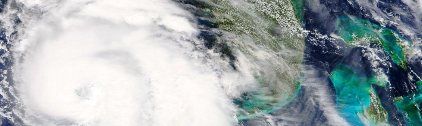
While the clean-up in Florida after the colossal damage and disruption from Hurricane Ian gets underway, and while the repair and rebuilding costs are being totaled up, we should not forget that we are still in hurricane season. There is even a low risk of further destructive storms.
The hurricane season runs for six months from June 1 to November 30. Eighty percent of intense hurricane U.S. landfalls occur before October but we should not underestimate the potential problems posed by the fifth month of the season.
In particular, the geography and character of October hurricanes are different from those in August through September, the main phase of the season. This is particularly important for the 2022 season because sea-surface temperatures (SSTs) in the eastern equatorial Pacific are currently cooler than average, signifying an ongoing La Niña.
And as a result of an ongoing La Niña, as shown by the catastrophe meteorologist Richard Dixon, we can typically expect continuing levels of hurricane activity throughout the month of October. This contrasts with El Niño (warmer than average SSTs in the eastern Pacific) and neutral conditions when Atlantic hurricane activity in October is almost absent.
Thermal inertia means that SSTs remain warm enough to sustain a tropical cyclone circulation across the Caribbean and almost all the Gulf of Mexico from June to October. However, by October, hurricane formation becomes more geographically restricted. The season for the formation of hurricanes in the Atlantic Ocean is now largely over, including storm generation in the eastern tropical Atlantic Ocean.
Instead, hurricanes now form in the western Caribbean and the southern Gulf of Mexico. Positioned between the Yucatán Peninsula and Cuba in the western Caribbean Sea, hurricane activity during October around the Cayman Islands since 1900 has been more than 50 percent higher than in September.
The total number of hurricanes in the Caymans during October and November is almost as high as in August and September combined. Meanwhile, frontal systems bring cooler temperatures to the coastal waters around the U.S. to keep most – but not all, hurricanes at bay.
As a result of these geographic restrictions, we can divide October’s U.S. landfalling intense hurricanes into two categories. First are those hurricanes that made landfall in Florida and the northern Gulf Coast, and second, hurricanes that took a ride along the Gulf Stream, and thereby sustained higher intensities further north along the Atlantic coastline.
Notable Recent October Storms
Over recent years, there has been a crop of notable October storms.
Looking back to 2020 there was a frenzied bout of tropical cyclone generation with a record number of 30 named storms. Ten named storms were identified in September and four storms in October. Three of these October 2020 storms became major hurricanes, with two making high-intensity landfalls.
Hurricane Delta first hit the Yucatán Peninsula in Mexico as a Category 4 and then Louisiana as a Category 2 on October 9. Hurricane Zeta made landfall in Louisiana as a Category 3 on October 28, after previously impacting Jamaica and Mexico’s Yucatán Peninsula.
Only two years earlier, Hurricane Michael made landfall on October 10 at Category 5 intensity near Mexico Beach, on the Florida Panhandle. We must look back more than twenty years to 1994, to find an October Hurricane ‘Hilda’ that hit south-central Louisiana as a Category 3 storm on October 3, although forming south of Cuba on September 28. Hurricane Opal in October 1995 made a Category 3 landfall on the Florida Panhandle.
Hurricane Ian, happening in the final days of September as an Atlantic origin circulation that only turned into a tropical cyclone near the Cayman Islands, is typical of a south Florida ‘October Track.’ From 1900-2018 there have been five major (Category 3 and higher) October hurricanes making a south Florida landfall.
Hurricane Isbell (1964 - Category 3) and the 1944 Cuba-Florida Hurricane (Category 4) both hit the state’s southwest coast while Hurricane King (Category 3) made landfall in 1950 near Miami, as the most intense storm to make direct landfall on the city since 1926.
And unusually, Hurricane Wilma in 2005 peaked as a Category 5 storm off the coast of Cancun and then crossed over the Florida Peninsula to hit Miami as a Category 3 event from inland. The risk of such a south Florida October storm is less than five percent in a typical year but perhaps double that for 2022 because of La Niña.
Beyond this primary category of Florida and northern Gulf October hurricanes, there is an even rarer category of intense October storms that impacted the Atlantic coast further north by hitching a ride on the great hot river of the Gulf Stream.
Riding on the Gulf Stream
By following the Gulf Stream, Hurricane Hazel in 1954 was able to intensify to a Category 4 landfall on October 15 on the border between North and South Carolina with peak 140-mile-per-hour winds. Hazel produced a swath of destruction of wind and flood all the way through to Toronto, Canada.
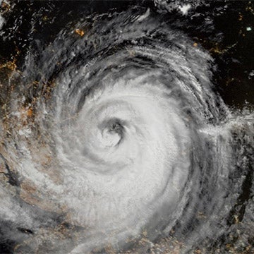
Perhaps the most remarkable October storm was Superstorm Sandy in 2012, now coming up to its tenth anniversary. The hurricane formed to the south of Jamaica on October 22 and traveled north across Jamaica and Cuba, before passing over The Bahamas to reach a maximum Category 3 intensity.
Sustaining a Category 2 intensity as it traveled over the Gulf Stream, it then encountered a large frontal low-pressure system. As the two circulations merged, Sandy took an unusual swing to the left, and on October 29 it became a single vast ‘super-storm’ with a central pressure of 940 millibars and gale force winds spanning an enormous diameter of 1,150 miles (1,850 km).
Superstorm Sandy brought a catastrophic storm surge to the coasts of New Jersey and New York. An unanticipated storm, it brought damage and destruction equating to US$70 billion in economic costs, with flooding of coastal cities and subway systems, closed ports, and long-lasting power outages – including over southern Manhattan.
October 2022, therefore, very much remains part of the hurricane season. Whether it is for fear of another Sandy, or another Wilma, the insurance industry recognizes that the season isn’t over until it is over.