The U.S. Geological Survey (USGS) has recently released an updated version of its U.S. National Seismic Hazard Model (NSHM) for 50 U.S. States, which showed a significant increase in seismic risk across large portions of the conterminous U.S., as well as in Alaska and Hawaii.
A closer examination of the hazard change results, particularly at the 500-year and 2,500-year return periods (or 10 percent in 50 years and two percent in 50 years exceedance probabilities, respectively), indicates that changes in rock site conditions are primarily attributed to updates in earthquake recurrence rate estimations.
The change in hazard patterns becomes noticeably more complex when considering buildings located in softer soil site conditions.
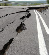
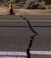
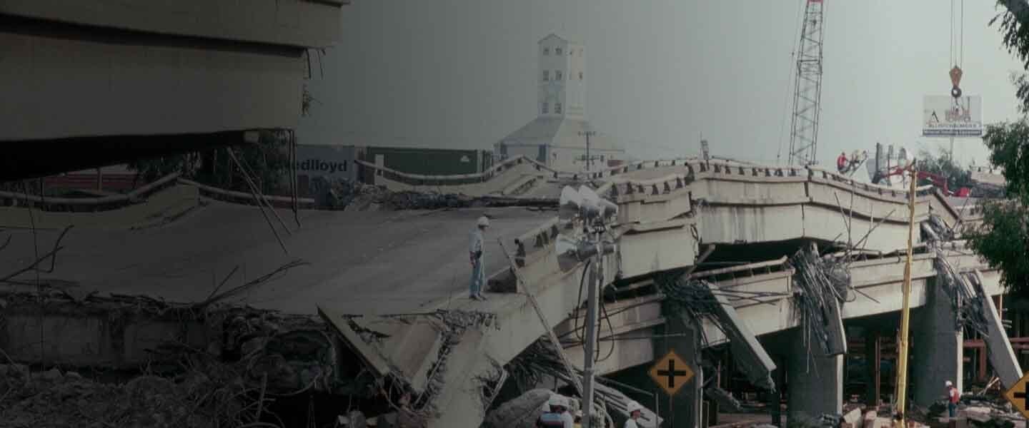
Nevertheless, the updated model highlights that more than 75 percent of the U.S. is now at risk of experiencing damaging earthquakes, ranging from minor wall cracks to potential building collapses.
Despite this heightened risk, there is a prevailing trend of low earthquake insurance penetration, suggesting a certain complacency within the public about self-managing the associated risks. This complacency, however, could prove devastating when a significant earthquake event occurs.
While this recent information released by the USGS may seem new, as a member of the NSHM Steering Committee (NSHM-SC), I have been fortunate to work closely with the USGS on these updates.
I have had the opportunity to review various modeling assumptions and their implications on hazard outcomes. Given that the earthquake rate update stands out as a key driver of hazard change, as a member of the USGS Earthquake Rupture Forecast (ERF) Review Panel, I have also had the opportunity to delve deeper into this aspect.
This close association has not only allowed me to explore the new data but also the reinterpretation of existing data, both of which contribute to the changes observed in seismic rates.
It is crucial to note that this update in modeling assumptions is a significant factor in driving substantial changes in hazard, particularly in the Central and Eastern U.S. The intricate interplay of new data, reinterpretation of the existing data, and methodological adjustments underscores the complexity of the evolving hazard landscape.
Our approach within Moody’s RMS – as we've done in the past – involves a meticulous review of different modeling assumptions and the inherent uncertainties in modeling data. This critical assessment precedes our adoption of the USGS model, ensuring the accuracy and reliability of our risk models.
Experience has also shown us that the hazard changes communicated by USGS for specific return periods may not necessarily correlate with equivalent shifts in losses.
While the USGS model review primarily focuses on hazard changes at 500-year and 2,500-year return periods, particularly for building code applications, our review process extends further.
Insurance loss results, such as average annual loss, depend on hazard changes at return periods as low as 50 years in California and as high as more than 5,000 years in many parts of the Central and Eastern U.S.
The spatial correlation of hazard also plays an important role in insurance portfolio loss calculations, requiring a careful evaluation of how different modeling assumptions impact this correlation. Notably, this aspect of the hazard model updates is not as critically reviewed, given that building code design requirements predominantly focus on hazard at specific locations.
Our active involvement with the USGS development work provides us with valuable insights into the impact of critical assumptions on mean hazard and spatial variability.
These insights position us well, as we start the journey of adopting the USGS update into Moody’s RMS United States Earthquake Models, ensuring an accurate and informed integration of the latest hazard model in insurance applications.
Currently, the USGS only provides time-independent hazard results, which is critical for building design applications. As we gear up for the evaluation of the USGS model, it is important to highlight that the time-dependent hazard model, essential for insurance risk estimation, is expected to be available by the end of 2024.
Our comprehensive approach recognizes that the hazard update is just one facet of the broader risk model update. We plan to have a fresh evaluation of the progress made in geotechnical and vulnerability model updates since our last release in 2017.
We know that earthquakes will strike, but they should not be a disaster. At Moody’s RMS, we plan to provide the most accurate view of earthquake risk to help individuals and the industry make the most informed decisions possible.
We will keep the industry updated as we make progress, to help the industry plan its model adoption work and ensure there are no sudden surprises in the resulting changes in loss results.