
The Moody's insurance solutions blog
Get expert perspectives as our team weighs in on the latest events, topics, and insights to help you demystify risk and deepen resilience.

Snaefellsnes Peninsula, Iceland
Tag: geocoding
Filter by:
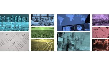
Introducing Moody's RMS Version 23: Now Available

A major new version of Moody’s RMS RiskLink®, RiskBrowser®, and related products was made generally available on June 14, 2023. The new…

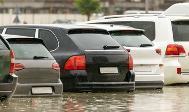
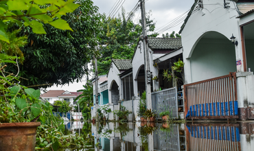
Impact of Inconsistent Geocoding on Risk Transfe...
 ,
, 
There is an expectation that an address within an insurance portfolio will represent a single distinct location, with only one possible set of…
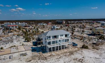
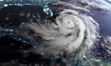
Version 18.1 Delivers Updated Views of North Atl...

With the release of version 18.1 on April 22 from RMS, there is plenty to explore, validate and put into production. Updated Insights on…
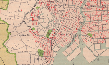
Geocoding: The Underappreciated Science of Catas...

“Geocoding”’ is the ability to assign descriptive address information to portfolio locations for the purposes of assessing hazard at a given…
