


Newsroom
Explore Moody's RMS news and articles, press releases, and related stories.
January 12, 2024
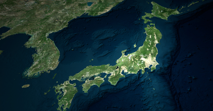
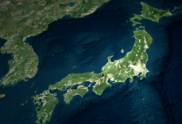
Moody’s RMS Estimates Total Insured Losses from Noto Peninsula, Japan Earthquake Will Likely Range Between JP...
Shark Bay, Western Australia
Reset Filters
Filter by:


Share:

May 6-9 | Fairmont The Queen Elizabeth | Montréal, Canada
